Parking information:
Designated visitor parking garage is the Virginia Avenue Parking Garage, labeled VAG on the Campus Map and is at the intersection of Lake and Hitt Streets.
Missouri University Parking Garage map: http://umcspace.missouri.edu/muparking/default.aspx
Buildings to know (Map labels):
MU STUDENT CENTER (location of Tues/Thurs meetings)
MEMORIAL UNION (location of Wed. evening dinner)
Missouri University Campus Map: http://map.missouri.edu/
Location of bus and van pick up/drop off:
Hampton Inn
3410 Clark Ln
Columbia, MO
https://maps.google.com/maps?q=Hampton+Inn+Clark+Lane+Columbia,+MO&hl=en&ll=38.962879,-92.287173&spn=0.017485,0.041585&sll=38.304661,-92.437099&sspn=4.516941,10.645752&hq=Hampton+Inn&hnear=Clark+Ln,+Columbia,+Missouri&t=m&z=15
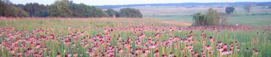
Directions to Tucker Prairie (Tues p.m.):
Get off Interstate 70 at Exit 144 (Highway M). Head south on County Road 223 for 1.5 miles. Then head left (east) on County Road 220 for one mile. Then head left (north) on County Road 215 for 1.5 miles. The entrance is on the left side (west) of the road.
Directions to Prairie Fork (Wed field day):
1. Exit Interstate 70 at the Williamsburg Exit (Exit 161).
2. Take State Route D North into Williamsburg (0.4 miles) and follow Route D as it turns west (2.3 miles).
3. Route D will turn south and cross Interstate 70.
4. Stay on Route D for 1.9 miles.
5. The main entrance road into Prairie Fork will exit to the east off of Route D.
