By Bill Kleiman
For a recently protected tract I developed a baseline vegetation protocol that seems doable, statistically sound, understandable, and visual.
First I created numbered sequential random points. There is a way to get GIS to randomize these points but I learned that later. What I did was lay this aerial photo over a piece of cardboard and used a pin to make random holes. Then I used GIS to enter the points by eye.

Then the team uploaded this map to Avenza maps app on our tablet.
The survey team walked to where they were hovering over each point on the tablet. They placed a meter square quadrat and recorded species and cover.
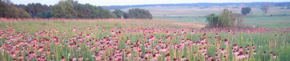
Then they took a photo looking down and a photo looking north. We used a range pole with numbered tags. Example photo below.


Here is a link to a summary of the first baseline we did using this protocol: https://www.middlerockconservationpartners.org/vegetation-baseline-survey.html

The only thing I can think to mention is that it would help the shrub community if any native shrubs had fuel raked away from them before prescribed fires were conducted. Your survey results show very few native shrubs remaining.