by Bill Kleiman, Nachusa Grasslands
Above, the panoramic photo is on a property boundary of the Middle Rock Conservation Partners Hill Site. On the right is a neighbor’s brush thicket. On the left is the Hill Site after an extensive amount of brush mowing, chainsaw work, stacking logs, basal bark herbicide, seeding with a prairie mix, and a fire this spring.
If you were walking out there with me the difference between the two tracts is brushy night and savanna day. But can our camera pick up what our eyes readily see?
When we first purchased this tract we collected vegetation cover from 70 random vegetation quadrats with a photo looking down at each quadrat and a photo looking north from each quadrat. Link to protocols at end.
Below are two photo pairs.

Did the photo pairs convince you that we cleared a lot of brush?
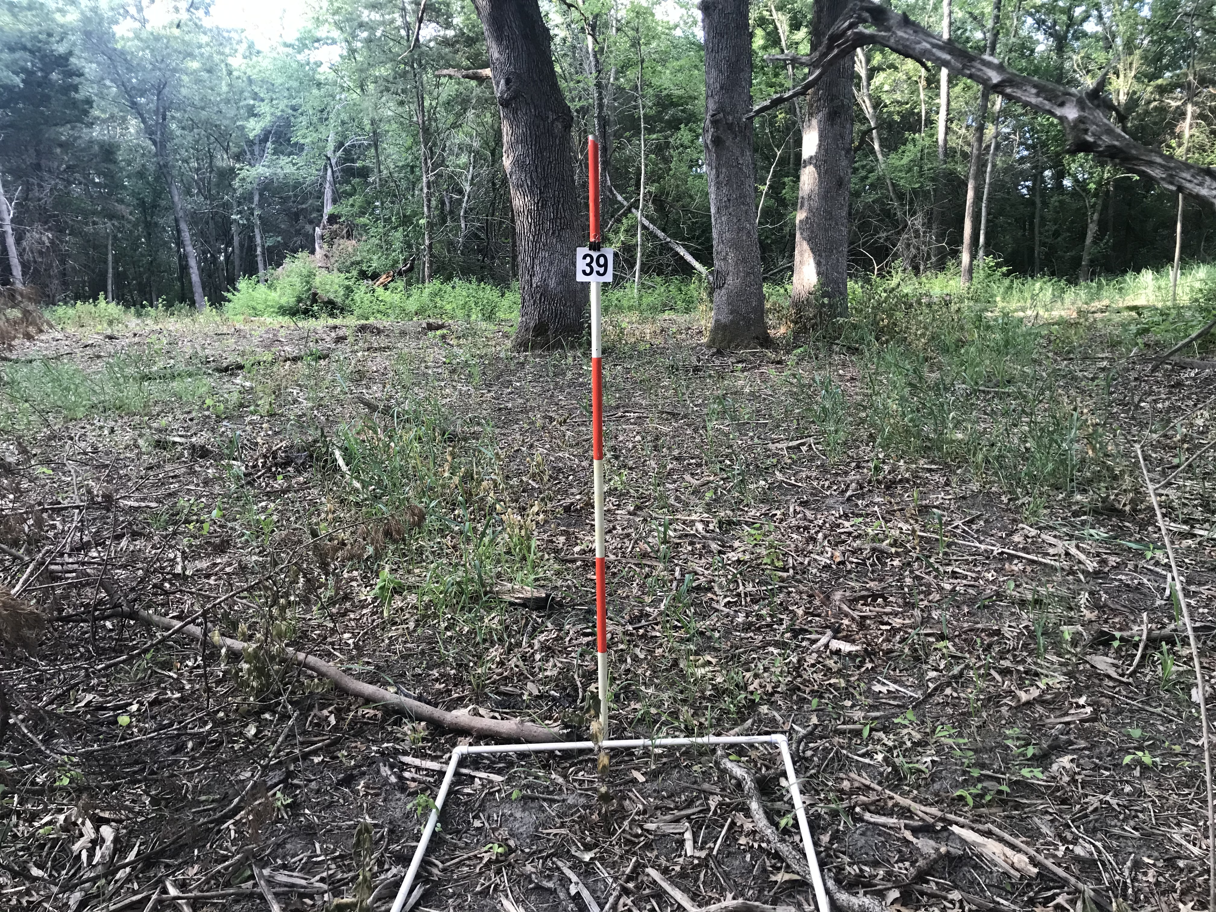
You might be looking for those white oak trees in the first photo of point 39. The brush was too thick to see any of those 3 large trees. The GPS accuracy of my phone is likely about 15 to 20 feet. There were no permanent posts in the ground. I simply used an Avenza map with the numbered points and walked about until the phone dot hovered over point 39. So the two shots could be off by as much as 30 feet. Does it matter?
To see a nice slide show summary of the vegetation and photo protocols I used go the Middle Rock Conservation Partners website here: https://www.middlerockconservationpartners.org/vegetation-baseline-survey.html

Great to see these photo comparisons. Wish I had done more over the years.
Best method to share progress I think. Especially when we can see what vegetation is bouncing back in the absence of brush. A picture is truly worth a thousand words.