-
Join 4,186 other subscribers
-
Recent Posts
Recent Comments
William Harris on Basal Bark Herbicide Treatment… Gabe Morrow on Knife vs Hammer brush mul… superblyagile7f20db2… on Clethodim Treatment Tracking –… 2026 – Annual… on Land Abandonment, Succession a… Grassland Restoratio… on Save the date! 2026 Workshop… Archives
- April 2026
- March 2026
- February 2026
- January 2026
- November 2025
- October 2025
- September 2025
- August 2025
- July 2025
- June 2025
- May 2025
- April 2025
- March 2025
- February 2025
- January 2025
- December 2024
- November 2024
- October 2024
- September 2024
- August 2024
- July 2024
- June 2024
- May 2024
- April 2024
- March 2024
- February 2024
- December 2023
- November 2023
- October 2023
- September 2023
- August 2023
- July 2023
- June 2023
- May 2023
- April 2023
- March 2023
- February 2023
- January 2023
- December 2022
- November 2022
- October 2022
- September 2022
- July 2022
- June 2022
- May 2022
- February 2022
- January 2022
- December 2021
- November 2021
- October 2021
- September 2021
- August 2021
- July 2021
- June 2021
- March 2021
- February 2021
- January 2021
- November 2020
- October 2020
- September 2020
- August 2020
- July 2020
- June 2020
- May 2020
- April 2020
- March 2020
- February 2020
- January 2020
- December 2019
- November 2019
- October 2019
- September 2019
- August 2019
- July 2019
- June 2019
- May 2019
- April 2019
- March 2019
- January 2019
- December 2018
- November 2018
- September 2018
- July 2018
- June 2018
- May 2018
- March 2018
- February 2018
- July 2017
- June 2017
- May 2017
- March 2017
- February 2017
- January 2017
- December 2016
- November 2016
- September 2016
- August 2016
- July 2016
- April 2016
- February 2016
- January 2016
- July 2015
- June 2015
- February 2015
- September 2014
- June 2014
- May 2014
- January 2014
- December 2013
- November 2013
- September 2013
- August 2013
- July 2013
- June 2013
- April 2013
- March 2013
Categories
Meta
Tag Archives: monitoring
Prescribed Burn Monitoring – Field Data Collection with ESRI Field Maps
We have been using ESRI’s Field Maps app on our cell phones for natural resource management and monitoring data collection, and LOVING IT! For ecological management data, we have data layers and maps for invasive species treatments and observations, seed … Continue reading
Posted in Uncategorized
Tagged burn monitoring, ESRI Field Maps, Field Maps, Julianne Mason, monitoring, prescribed fire
2 Comments
Prescribed Burn Monitoring – Fire Intensity and Vegetation Community Changes
Part 2 – Why Bother Doing Prescribed Burn Monitoring The ecological effects of prescribed burns can vary a lot depending on seasonality, frequency, and fire intensity. In recent years, we have been using a standardized protocol to monitor the intensity … Continue reading
Posted in Prescribed Burn
Tagged burn monitoring, Julianne Mason, monitoring, prescribed fire, vegetation monitoring
6 Comments
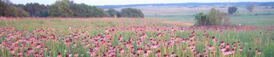
Photo point example
by Bill Kleiman, Nachusa Grasslands Above, the panoramic photo is on a property boundary of the Middle Rock Conservation Partners Hill Site. On the right is a neighbor’s brush thicket. On the left is the Hill Site after an extensive … Continue reading
Posted in Uncategorized
Tagged Bill Kleiman, brush mowing, Middle Rock Conservation Partners, monitoring, photo point
2 Comments
Rapid Assessment Monitoring, a video
By: Julianne Mason, Restoration Program Coordinator, Forest Preserve District of Will County Stewards are busy people. Fire work, weed work, seed harvesting, brush thinning. How can you also find time to assess how your restorations are coming along? Watch our … Continue reading
Posted in Uncategorized
Tagged Julianne Mason, monitoring, prairie restoration, rapid assessment
1 Comment
